Continuing our Great Northwestern Adventure took us to our initial intended location of Glacier National Park. We headed out at about 9 am hoping to have a nice day in the mountains. We knew it had snowed up on Logan Pass the day before, but hoped it would be better. No such luck.
Glad we had road signs.
This piece of road on the way to the park was not pleasant in the rain and fog.
Further down the road we had some warning that there may be animals loose on the road.
We never expected a cow warning sign though.
Then along the way we found out it was a good idea to warn people.
The cows were not escaped from a local pasture, which would be the case here in West Virginia, but they were considered Free Range and basically, due to the caution signs, driver beware!
Going my way?
I guess if you warn people about free range cattle,
they just ought to figure that some horses are out there too.
What?
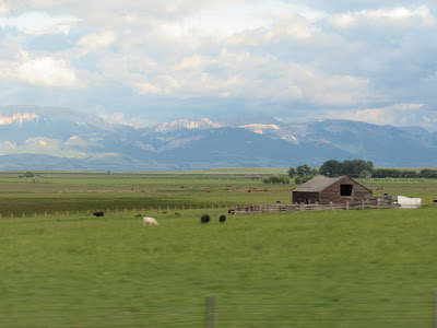
These pictures don't do any of these mountains justice.
I do like showing you the contrast in landscape though.
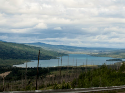
This is Lower Two Medicine Lake.
We had considered renting kayaks while in the park.
Then we realized the temperatures were going to make that a very chilly plan.
We got on the shuttle at St Mary's visitor center. It took us up the Going to the Sun Road to Logan Pass. Again, we had plans. This time the plan was to get off the shuttle at interesting stops and hike a little bit. Every time we got to a stop, we saw wet ground and cold people. And lots of fog that really messed with my pictures. This ended up being another "drive by shooting" event for most of the pictures that I took. The day was a lot shorter and had a lot less hiking than planned, but we had a nice day. There were some beautiful sights from the road though. These pictures are a combination of our trip up, over, and back down the Going to the Sun road.
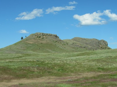
This is East Flattop Mountain seen from the visitor center parking lot.
I researched a bit and found pictures that show this mountain really is flat on top. According to my reading on this mountain, I think that this "flat top" used to be an ocean bottom. The steep edges would be from a combination of glacial activity and erosion. The mountain is part of the Lewis Range, which was created when, due to pressure from tectonic plate movement, a huge slab of rock slid up and over an older slab. That is where I got the ocean bottom idea. By "huge" it means the sliding slab was about 3 miles thick, 50 miles wide, and 160 miles long.
St. Mary's Lake
With a view of Wild Goose Island.
The island rises a bit more than 14 feet above the water level on the lake.
Heavy Runner Mountain
Named after Blackfeet Indian Chief Heavy Runner. The story goes that even though Heavy Runner was friendly with the explorers and Army that came through the area, he was killed in what is called the Baker Massacre. It was considered the worst action against the natives in the area, but did lead to improved relations.
Logan Pass... I think.
This is a view of the visitor center at Logan Pass.
It did not look like I would get many scenic pictures.
The sign says we were there.
The views, not so much.
Here's a crazy story that FabHub heard. The first shuttle of the day leaves St. Mary's at 7 am and arrives at Logan Pass at about 8 am. On the day we were there, some young people got on that shuttle and went straight up to the visitor center and headed up the trail since the building wasn't open yet.
They were wearing flip flops and shorts.
When we arrived at 1:45 pm, it was about 36 degrees.
And the trail head looked like this outside the visitor's center.
I can't imagine it was more scenic or warmer at 8 am.
There is a board walk that goes up the ridge to a scenic overview. I had read a blog post from someone who spends a lot of time in GNP. Just a week before we were there, he and his girlfriend were able to cross these snow fields and climb above the fog bank to see some spectacular views. So, I got FabHub to follow me and off we went. I am pretty much went along to make sure I didn't hurt myself. That was probably a good move on his part.
This pic is from our trip back down, but you get the idea.
It wasn't pleasant and we were wearing tennis shoes, jeans, and jackets.
We climbed the boardwalk and snowbanks until we got to this point.
Not being able to see anymore boardwalk, looking at the slope, and my shoes, I called a quit to our hike. FabHub was good with that. Look at all the tracks, too! There had been a lot of people up here since that snowfall the day before! Coming back down used all of my snow walking skills. I will admit to leaving the designated path so that I could get better footing in the snowbanks.
During my research to figure out which mountains I have in these pictures, I have discovered something. It was pretty obvious, and though what we saw was pretty nice since the glacial activity had made some wonderful valley views, we missed A LOT of beautiful mountain top views.
I am very glad we did not sign up for a Red Bus Tour. I am sure those tours are wonderful on clear days, but at $98 a person for the Big Sky Circle tour, it wasn't worth it on the day we were there. The free shuttle was just fine on this early July day.
Some random mountain valley photos.
What can be seen in these pictures is the evidence of glacier activity. If water had carved through this valley, the walls would be more V shaped. Glaciers carved a U shape through this area across the bottom and along the sides.
Bird Woman Falls
Above the falls is a huge valley made from Mount Oberlin, Clements Mountain, and Cannon Mountain. In that valley is the remnants of a glacier that, along with the run off from the surrounding mountains provides the water for Bird Woman Falls. The above picture was taken on our west bound trip at 3:06. The picture below was taken at 3:40 on our east bound trip. You can see how the fog had rolled in during that time.
Triple Arches
This entire Going to the Sun road is built to blend in with the scenery. This particular bit had some tricky bits to solve. Initially, the engineers planned to fill in the gaps, but then someone got creative. Because the section was visible from other parts of the road, they put in these arches.
Haystack Falls
Lower Haystack
A disturbing story that FabHub heard from the bus driver.
In July 2017, a 26 year old man was climbing n the upper portion of Haystack Falls trying to get the perfect picture when he slipped and fell in the creek..He was washed through the culvert and over the 100 foot falls. He did not survive.
Even more tragedy, while I was double checking the date on this story, I found another death has occurred. This year in July, a 15 year old was exploring the culvert under the road when he slipped and went over the falls. He did not survive.
River off of Haystack Falls.
Weeping Wall
This identified section of the wall is man made in a way. When they cut the road in, which included some uphill adjustments, they exposed some streams that end up running down the hillside and onto the road. In the early part of the season, when we were there, the stream is more of a creek. Later in the year the wall sort of "weeps" with the light flow.
Tunnel on the west side of the divide.
Same tunnel from the other side.
This tunnel has viewing arches in it.


